Ride Routes
Here’s a list of some routes that WCUG members have cycled in the past. Click on the ‘see route’ link to open a map of the corresponding route.
- Woking-Basingstoke Canal-Ottershaw-Fairoaks Airport-Woking 24.2km see route
- Woking-Send-Ripley-Westfield Common-Woking 26.8km see route
- Woking-West Humble-Newdigate-Shere-Woking 73.5km see route
- Winchfield-Odiham-South Warnborough-Crondall-Crookham-Hartley Wintney-Winchfield 40.1km see route
- Woking-Westfield-Sutton Green-Fox Corner-Pirbright-Basingstoke Canal-Woking 24.6km see route
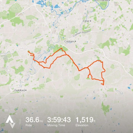
- Woking-Ripley-Effingham-Cobham-Wisley-Woking 39.5km see route
- Woking-Chobham-Lightwater-Horsell Wetlands Centre-Woking 27.4km see route
- Woking-Leatherhead-Fetcham Park-Woking 55.5km see route
- Woking-Whitmoor Common-Roker’s-Worplesdon-Woking I 22.4km see route
- Woking-Whitmoor Common-Roker’s-Worplesdon-Woking II 23.8km see route
- Weybridge-Woking-Guildford-Downs Link-Shoreham 85.5km see route
- Woking-Medicine Garden, Cobham-Woking 47.4km see route
- Woking-Sutton Green-Jacobs Well-Fox Corner-Pirbright-Woking 28.9km see route
- Woking-Denbies-Woking 58.6km

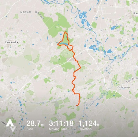
- Woking-Windsor Great Park-Woking 45.9km

Some other useful information about cycle routes around Surrey.
- Surrey County Council TravelSmart https://www.travelsmartsurrey.info/
- Surrey cycling infrastructure map
- http://www.cyclingfromguildford.co.uk/